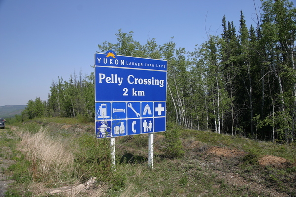
Location: The community of Pelly Crossing is located along the Klondike Highway and on the bank of the Pelly River, 282 kilometres northwest of Whitehorse and 254 kilometres southeast of Dawson City.

Pelly Crossing was originally a ferry crossing and a construction camp for workers building the Klondike Highway. The community’s economic base disappeared when highway construction ended in the 1950s but then gained a new lease on life as the home of the Selkirk First Nation. The people of the First Nation had settled near the old territorial capital of Fort Selkirk on the Yukon River. But the highway passed Fort Selkirk by, and the town site was virtually abandoned. The Selkirk First Nation was relocated to Pelly Crossing to centralize services and administration.
